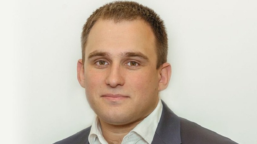
Nikolay Oleynik graduated from Saint Petersburg Mining University. Soon after that, he joined Lentisiz ZAO, one of St. Petersburg's most reputable companies in the field of engineering-geological surveying.
Nikolay first started as an engineer. Already working at the company, he pursued further studies and enrolled at Saint-Petersburg State University of Architecture and Civil Engineering. Therein he earned a Bachelor's and then a Master's degree. As the former student had a daytime job, he would study in the evenings, attending classes after work. According to Nikolay, he so decided to improve his qualifications, increase competency, and finally, learn the terminology the construction clients use.
Over 12 years of career progression, the fresh graduate advanced to the Head of the Field Team, Deputy Head of the Department of Engineering Geology, and the Deputy Chief Engineer. At last, in 2015 he was appointed the Director-General, and now he is leading the team of 140 employees. Among the projects carried out by the organization he is heading are Pulkovo Airport, the Saint Petersburg Ring Road, and numerous others.
As Nikolay believes, one of the most pressing challenges nowadays is the shortage of highly qualified surveying engineers.
"At Lentisiz, we hire only qualified professionals. Engineering surveying encompasses geological, geodesic, ecological, and hydrometeorological works. Mining University is one of the leading higher educational institutions that graduate specialists in this field. For instance, we employ geodesists from the Faculty of Civil Engineering, hydrogeologists and geotechnical engineers from the Faculty of Geological Prospecting, and environmentalists from the Faculty of Mining Engineering."
Lentisiz was founded in 1962. As Nikolay admits, geodetic surveying has undergone considerable changes since then, especially in the last years. Theodolites and levels were replaced by GNSS receivers. Aerial surveying is performed by drones. At the reconstruction of industrial objects, surface laser scanning is used. Based on the data received, three-dimensional digital object models are created.
"Lab equipment used when conducting geotechnical surveying has been affected by changes, too. As tools we use are becoming automated, there is less need in human participation at soil testing. All one has to do is load a sample into the device and at the output, receive a structured lab test report. Quality of work we are doing is very high, but it requires our stuff to undergo continuous retraining. Indeed, young graduates don't need to be retrained yet, as their skills are just up to date," he explains.
"Mining University's knowledge standards have traditionally been high. Students come to us and, as part of their practical classes, scan facades, process the point cloud they received and create 3D models of buildings and facilities. When they graduate, they already know how to work. That's why Mining University's graduates make up about 40% of our engineering staff."
Since construction projects can be worth hundreds of millions, it is in our interest to ensure that our surveying staff is the most qualified, Nikolay Oleynik sums up.
